Nautical Maps Boat Navigation
Category : Travel and Navigation
Author Name : Waterkaarten: Boat Navigation
Operating System : android
License : Free
Rating : Everyone
Nautical Maps Boat Navigation Download Links for Android
Nautical Maps Boat Navigation Screenshot
About Nautical Maps Boat Navigation Android Application
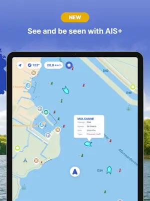
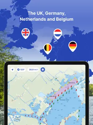
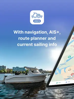
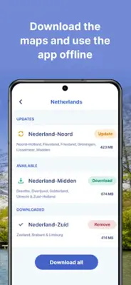
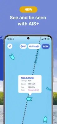
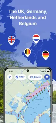
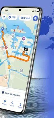
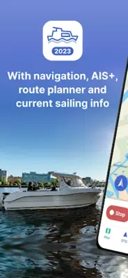
Nautical Maps: Boat Navigation is an application that aids in boat navigation. Designed for waterways in the United Kingdom, Netherlands, Germany, and Belgium, it offers comprehensive maps, detailed information on marinas, and a route planner. Additionally, the AIS+ feature enhances safety by sharing real-time vessel positions, while offline functionality ensures access to vital data without an internet connection. The software undergoes regular updates and provides cross-device compatibility.
Application Official Website
https://waterkaarten.appApplication Support Email
[email protected]Application Main Features
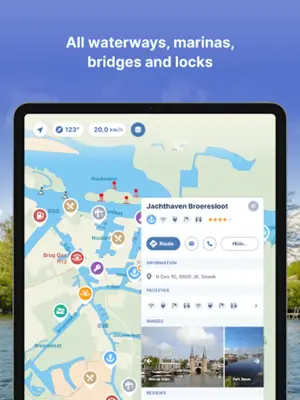
- Complete nautical maps across four countries (UK, Netherlands, Germany, Belgium).
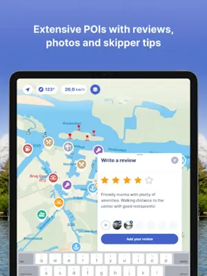
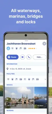
- Extensive database of over 200,000 nautical objects (bridges, locks, mooring places).
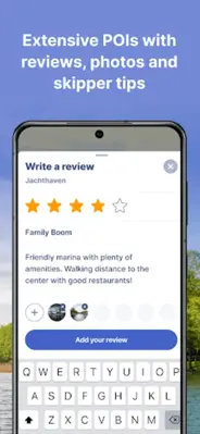
- Detailed information on more than 4,000 marinas.
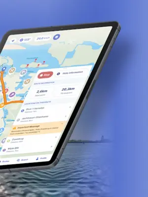
- Route planner for designing optimal paths.
- AIS+ feature for enhancing safety by sharing real-time vessel positions (limited to Netherlands).
- Access to current navigation reports, obstructions, and operational times of marinas, bridges, and locks.
- Adjustable display settings for customizing map information.
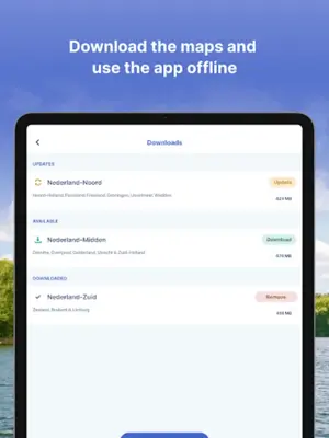
- Offline functionality for accessing data without an internet connection.
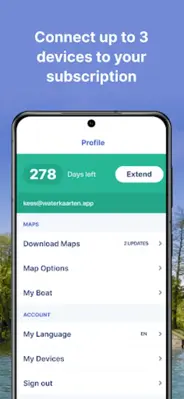
- Frequent software updates with new features included in subscription.
- Dedicated customer service team for support.
Application Ratings
4.1
1
2
3
4
5
The content is rewritten by Gemini Ai ,Published Date : 26/3/2024 , Modified Date : 26/3/2024
